Engineering and Public Works
Richmond Circular City Strategy
The circular economy combines economic growth with a development cycle that preserves and enhances natural capital, optimizes resource production and minimizes risk through the management of limited resources and renewable loops. Additionally, it enables companies to reduce production costs and losses, generate new sources of revenue and reduce their dependence on natural raw materials.
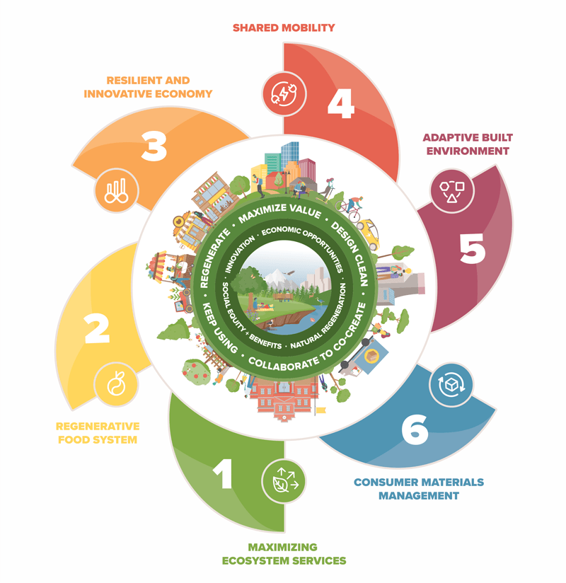
The Richmond Circular City Strategy outlines a framework that will guide the City's transition to a circular economy.
The Circular Economy emerges as a counterpoint to the linear model. This new model combines economic growth with a development cycle that preserves and enhances natural capital, optimizes resource production and minimizes risk through the management of limited resources and renewable loops. Additionally, it enables companies to reduce production costs and losses, generate new sources of revenue and reduce their dependence on natural raw materials.
View the Richmond Circular City Strategy or visit Richmond Circular City Strategy for more information.Flood Protection Management Strategy
Watch the City's Flood Protection animation:
Learn more about the City's Flood Protection System:
Explore the Flood Protection Story Map, an interactive tool that provides a greatstarting point for learning more about City's flood protection system.

What’s Keeping Richmond Safe?
The City of Richmond has one of the most comprehensive flood protection systems in British Columbia.
The guiding framework to upgrade and improve flood protection across the City in advance of sea level rise and other climate driven flood hazards are:
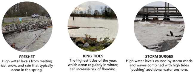
Our flood protection system is designed to:
- Withstand high water events such as spring freshets and King Tides
- Handle a 1:500 flooding event: a major flood that has a 0.2% chance of happening in any given year
Current flood protection infrastructure includes:
- Dikes: 49 km of dikes that hold back the waters of the sea and river
- Drainage pipes: 585 km of drainage pipes that transport water out of the city
- Culverts: 61 km of culverts and tunnels that carry streams and store rainwater
- Channelized watercourses: 165 km of man-made channels that move water through and out of the city
- Pumps: 39 drainage pump stations that pump rain and groundwater out of the city
- Sensors: Numerous flood protection sensors that provide real-time data on river levels, rainfall and stormwater drainage
Pump Stations
Since the early 2000s, Richmond has rebuilt and upgraded 19 drainage pump stations, increasing the total pumping capacity by 29%. These stations are now capable of discharging 1.4 million US gallons of water per minute - the equivalent of over two Olympic swimming pools. The current focus is now shifting towards dike raising from the current elevation of 3.5 metres to 4.7 metres to stay ahead of sea level rise.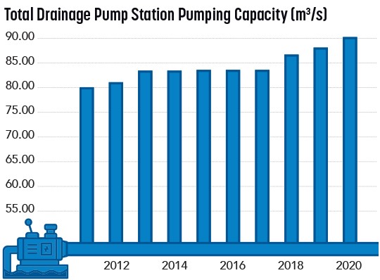
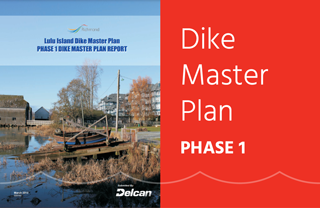
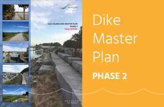
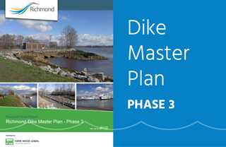
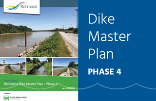
Dike Master Plan
Phases of the Dike Master Plan
The City’s Dike Master Plan outlines the process to upgrade the City’s dike in advance of sea level rise and other climate change flood hazards. The plan has been divided into the following phases: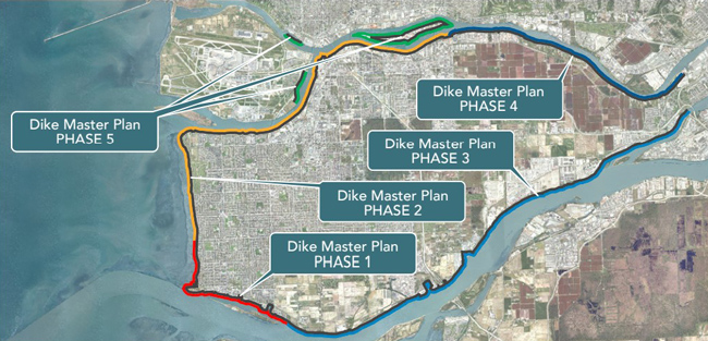
Watch the Dike Master Plan Phase 4 video:
Explore each phase: